How we can help
-
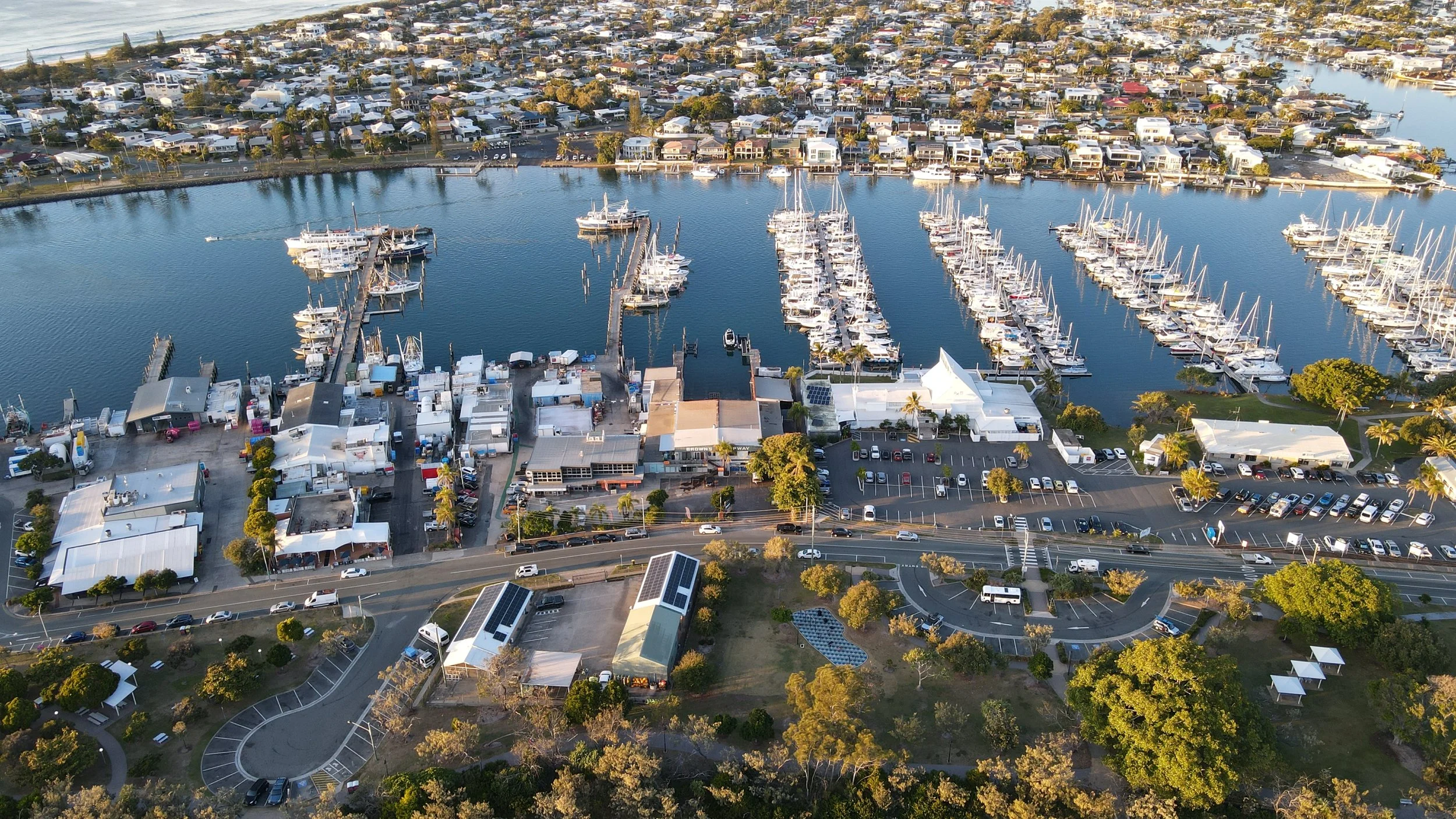
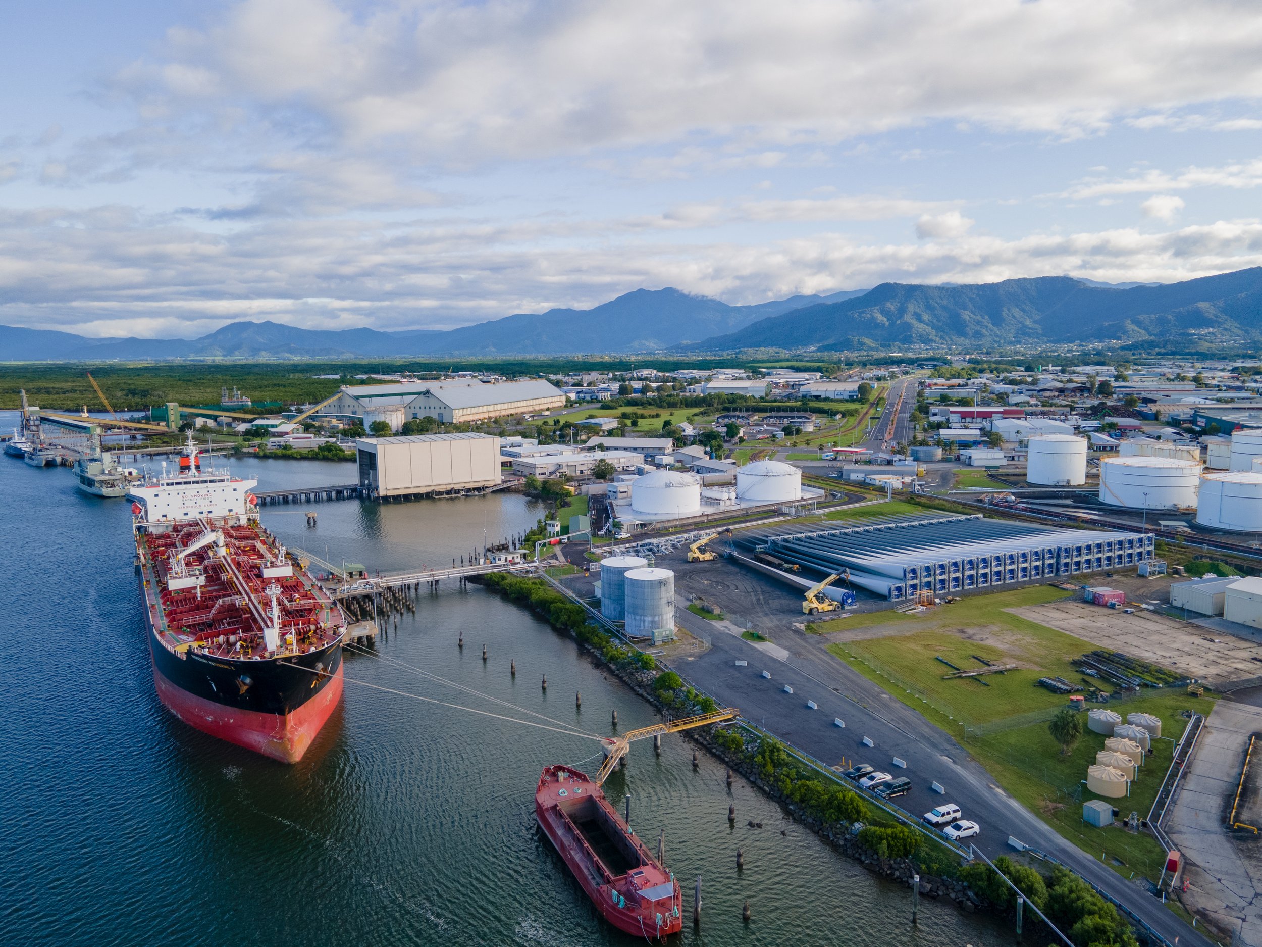
Aerial Photography & Videography
Add uniqueness and stand out from the everyday with a different perspective.
Whatever it is, the way you show your story online, in print can make all the difference.Residential
Commercial
Rural
Creative
-
Risk Reduction
Aerial Recon captures all your data and imagery safely and securely from the ground. Our fully qualified (RePL, RoC), insured and experienced team of pilots are service and safety driven.
Vertical inspections
Roof inspections
High voltage
Hazard mapping
Insurance assessments
Search and Rescue
-
Thermal Visionaries
State of the art aircraft with ability to capture thermal data and imagery.
Search and Rescue
Solar farm survey
Flare stack reporting
Electricity grid transmission
Pipeline inspections
Stock identification and count
-
Build it.
Insight, compliance and accountability
Construction surveys - pre, during and post
Volumetric data acquisition - stockpile volumes
pit surveysHeritage recording
Environmental recording/monitoring
-
-
Grow it.
It all begins with knowledge and experience tempered with the right data at the right time.
Plant health including algorithms such as NDVI and VARI
Area mapping
Thermal mapping
Topographic surveys
Get in touch.
It all begins with an idea. Maybe you have a creative project or data that needs to be shared with the world. Whatever it is, the way you tell your story can make all the difference.
This is a place to start. Drop us a line and we will get back to you as soon as possible.
Lets explore the possibilities together